
When it wasn't clear when it would be ok to not stay local, I set myself a challenge for 2021 to climb each of the three nearest summits to my house 100 times in the calendar year. These are: Dumbreck (508m), Lecket Hill (547m), and Cort-ma Law (531m). I'm sure it will be very dreich on the majority of occasions but I'm trying to populate this page with pictures of when the fells are looking at their best.
Winter means... Campsie sunrises!

Sillouette or Cort-ma Law from Dumbreck 21.11.2021

Sun rising over the Southern Uplands 21.11.2021

Above Birkenburn reservoir 13.11.2021
28.09.2021 Secret Campsies
For most visitors, a trip to the Campsie Fells means a walk up one of the well-trodden paths of Dumgoyne, Cort-ma Law or Meikle Bin. I've spent much of the last 8 years running amongst these fells. There are so many hidden features, many of which are not marked on the maps. It is extremely unusual to ever see anyone in these places, the best of which are guarded by miles of tussocks, ferns, bracken, or boggy ground. I've discovered idyllic swim pools, steep gorges, and hidden raised valleys. In such places I regularly meet red kite, golden plover, curlew, and short-eared owls. There remain many corners of this hillscape for me to explore. This is extraordinary when you consider this is a 100 square mile area barely 10 miles north of the largest city in Scotland. When rain has been heavy I like to visit the falls, of which there are so many to chose. Here, at the end of September I ran off Lecket Hill southwest into the Alnwick Burn, to some falls not marked on the Ordnance Survey maps.


15.06.2021 All the Campsies?
Over the last few years I've had various conversations among friends and locals about the possibility of creating run that connected up all the summits in the Campsie Fells. I was keen for a route that used objective criteria to define which summits to include. I settled on using the Ordnance Survey 1:25,000 (Explorer) and 1:50,000 (Landranger) maps to identify every summit higher than 300m that had both a spot height and a name (on either map, including some that had a spot height on one map and a name on the other). The resulting list of 35 peaks could be connected coherently in a single 68km run which I did on Tuesday June 15th. The only slighly unnatural summits included were Drumbouy and Cock Hill which are in the middle of the forestry to the south east of Carron Valley reservoir. According to the maps, the eastern few summits on this route such as Laird's Hill, Garrel Hill and Tomtain, are technically "Kilsyth Hills" (not Campsies), but the distinction between these two ranges is not clear. I included everything to the north of the A803/A891 and the south of the B818, and everything to the west of the Tak ma Doon road and to the east of the A81. It felt fitting that the first hills on this circuit were Crichton's Cairn/Cort-ma Law and the last one was Dumbreck, and that this run marked me reaching the half way point of my 3 x 100 challenge.


Off the "Clachachter Stone" on the descent of Dumbreck (10.04.2021)


Predawn light at 0600 from the sumit of Lecket Hill, with Meikle Bin sillouette (09.04.2021)
On the morning of Tuesday March 16th I did a "Grand Campsie Round", connecting the range's five highest trig points in a single 38km run.

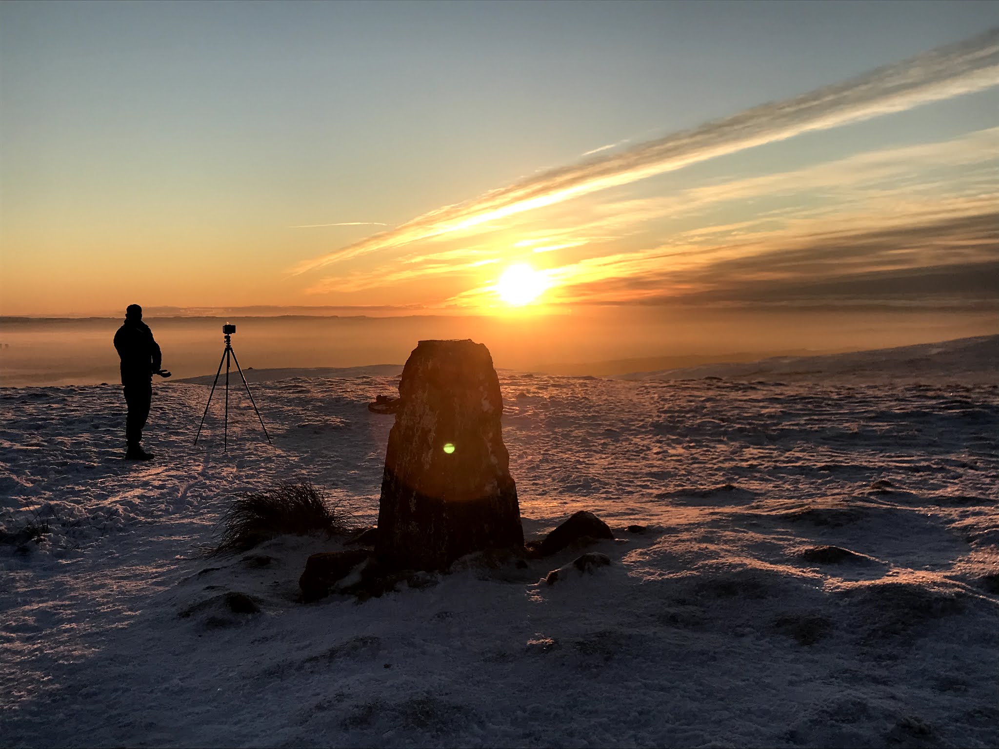
Sun pushing through the clouds over Dumbreck trig (16.03)


Looking back to the Little Corrie (16.03)

Meikle Bin trig (16.03)

Cort-ma Law trig (16.03)


Finglen crossing (12.02)

Dumbreck summit fence (12.02)

Lonely Hawthorn on the way up Dumbreck (12.02)
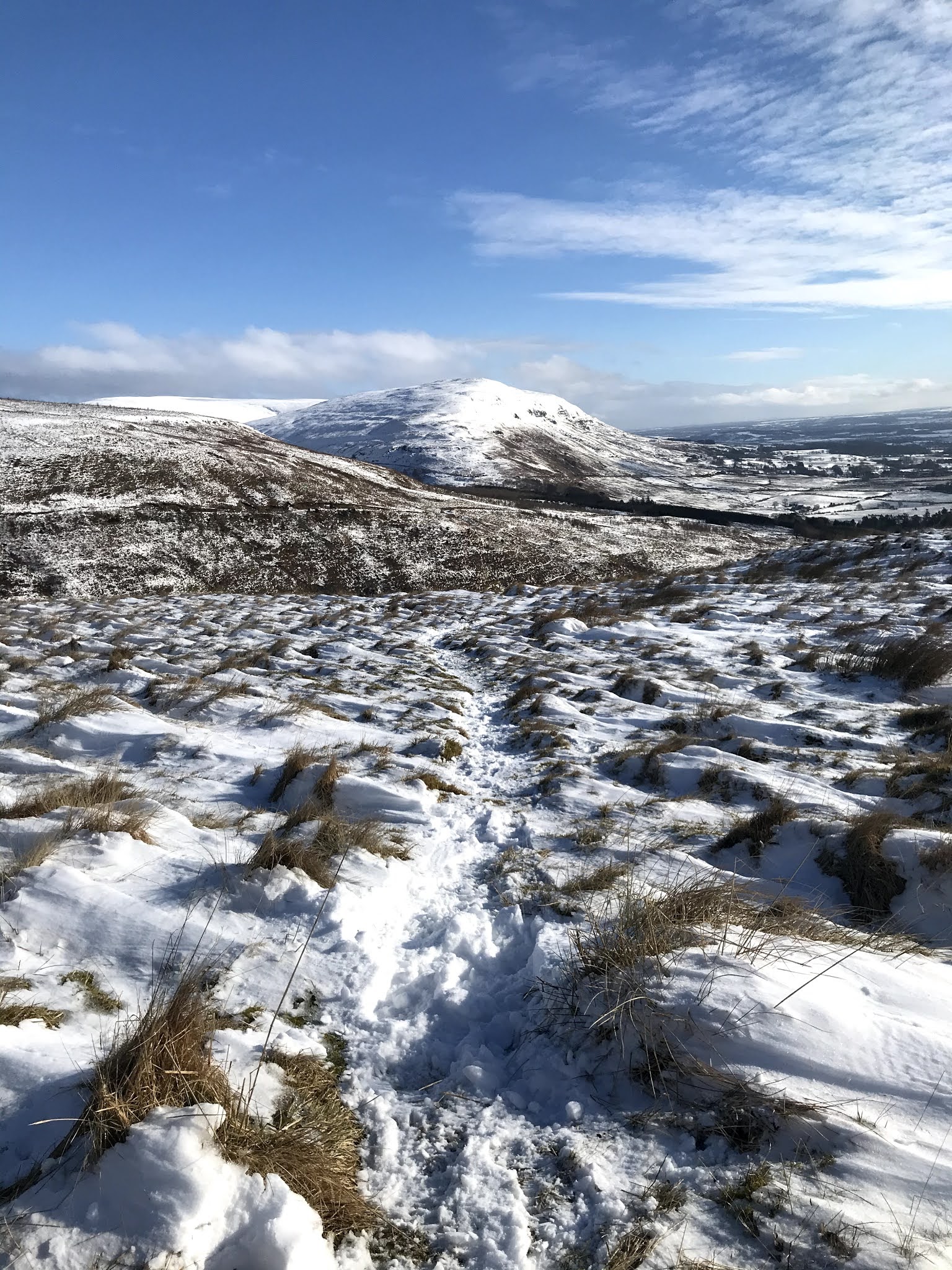
Beautiful view of Cort-ma Law from Dumbreck (12.02)

Icicles on the way off Lecket Hill (11.02)
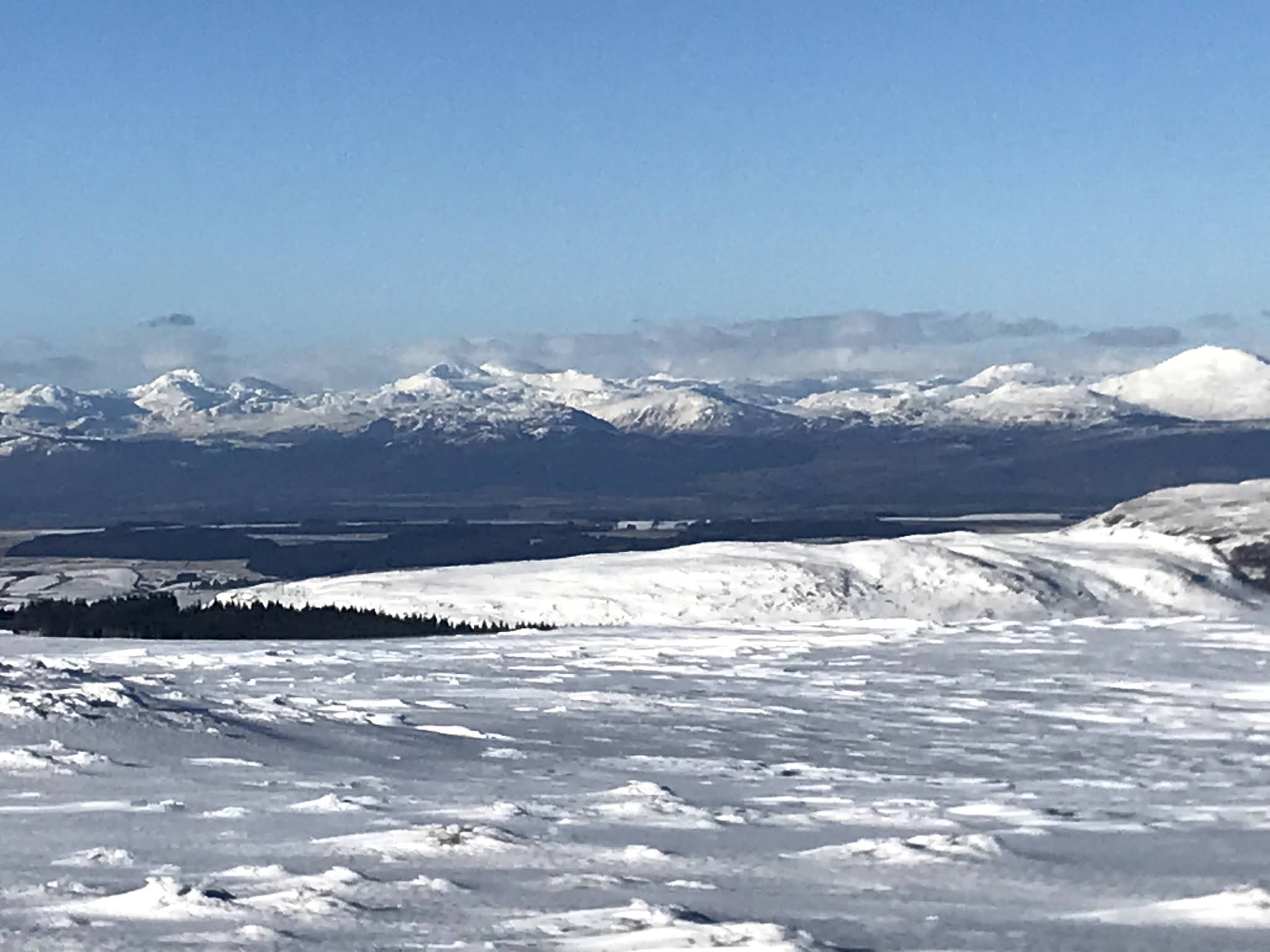
West highlands from Lecket Hill (11.02)

Ben Lomond form Lecket Hill (11.02)

Campsie snow dessert (11.02)

Cort-ma Law summit (11.02)

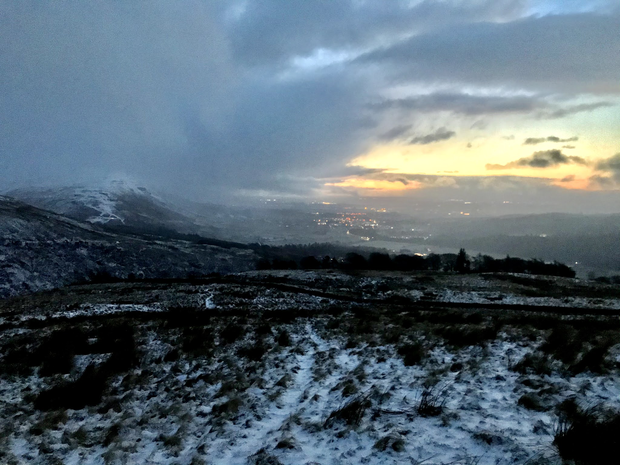
Descending Dumbreck in the dawn light (08.02)


Fence-line descent to Alnwick burn after Lecket Hill, as per the Cort-ma Law race route, 24.01


Red light appearing as I ascended Dumbreck for the second time on 17.01...

Silhouette of Meikle Bin against the pre-dawn light, from Dumbreck summit 13.01

Setting off up Dumbreck with Jethro Lennox by moonlight on New Year's Day

Jethro pushing on through snowdrifts on Dumbreck summit 01.01

Me heading back to Dumbreck 01.01
Cort-ma Law summit sunset 06.01

Lecket Hill sunset 06.01

View to the West Highlands from Lecket Hill 08.01